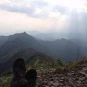
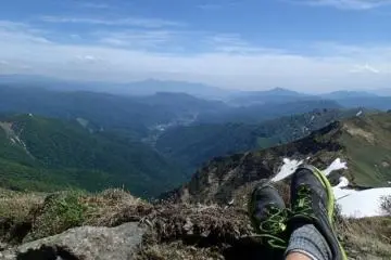
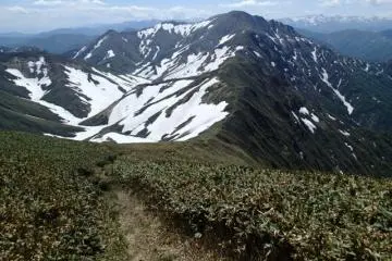
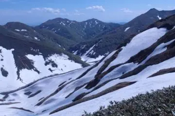
Located in the same range as the infamous Tanigawadake, Mantaro-san shares all of the same weather patterns and danger, but none of the fame. As with its more popular neighbor, the tree line is a lot lower than any other mountain in Japan. This is mostly due to the harsh winter weather it receives, but results in some breathtaking views all the way down the valley. The only direct access is from the Niigata side of the range via a four hour hike. The alternative is to make the two hour ridge line traverse from Tanagawadake. Either way the trail will be covered with deep snows until early summer.
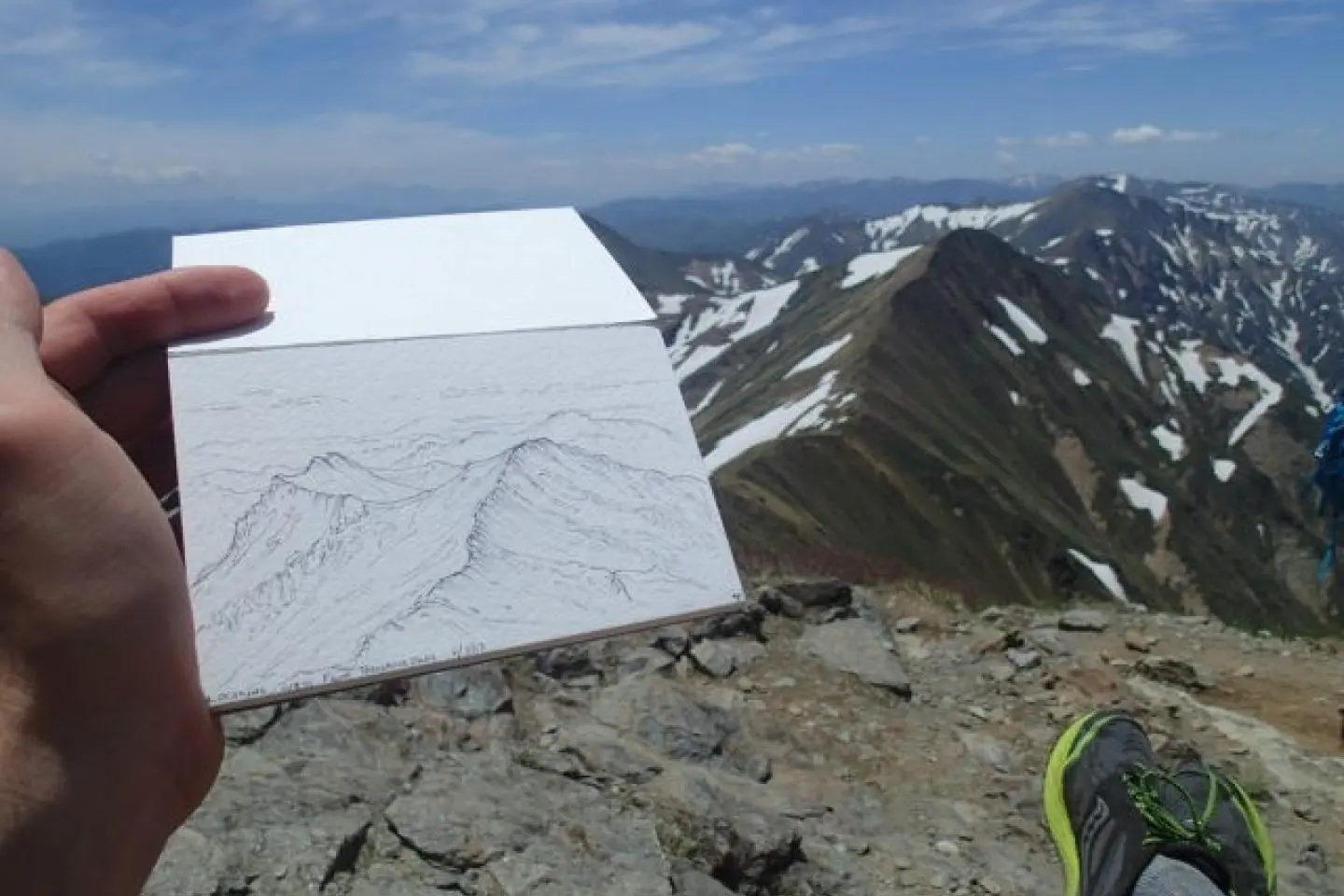
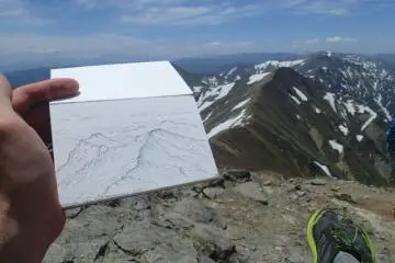
A quick sketch before conquering the ridge (Photo: Matthew Shewchuk)
Oct 30, 2013 - 1 min read
Mantaro-san
On the boarder of Gunma and Niigata
+2
정보
/138.87937545776,36.824067020405,9/397x132?access_token=pk.eyJ1IjoiamFwYW50cmF2ZWxtYXBzIiwiYSI6ImNqbXBtOXYxbDB5Z3ozbHFrazJuYWMwOGYifQ.v15fy_mcFWtgopmz8PhwqA)
톱 기사
추천된 것
인기많은